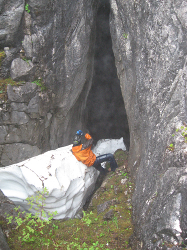
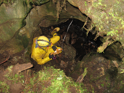
| During the summer of 2008 the Tongass Cave Project conducted two expeditions in southeast Alaska. From August 2nd through August 16th of 2008, five cavers inventoried karst features and mapped caves on Prince of Wales and Kosciusko Islands, Tongass National Forest, southeast Alaska with funding from the NSS Exploration and the Dogwood City Grotto grants. Additional support was provided by the US Forest Service, Backpacker’s Pantry, and NSS Member Pat Tierney. Six new caves were mapped on Kosciusko Island with two large remaining leads. Heather’s Grotto rivals Goliath Waits Cave for the longest cave mapped on the Island to date. The northern end of Prince of Wales Island and Calder Mountain, a peak of Silurian aged Heceta limestone, was the second destination for the expedition. The weather was rough up on Calder, but the expedition covered over 50 kilometers of ground including hiking over well-developed epikarst to the base of the peak with a mountain of gear. The expedition discovered and mapped five new caves in the Calder Area. Information gleaned from these expeditions will prove vital to future planned trips in these areas. |

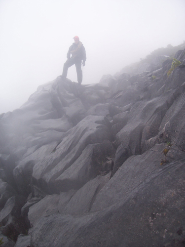
The rains set in at camp on Calder Mountain. Image: J. Kovarik |